Arethusa Falls and Frankenstein Cliff Loop Hike Offers Mountaintop and Waterfall Views in Crawford Notch
Hiking Arethusa Falls & Frankenstein Cliff Loop | Crawford Notch
The Arethusa Falls and Frankenstein Cliff Loop is one of the most scenic hikes in Crawford Notch State Park, offering stunning views, a towering waterfall, and dramatic cliffside terrain—all in a manageable 5.1-mile loop. This classic White Mountains hike begins at the Arethusa Falls Trailhead, located just off Route 302 near the southern entrance of Crawford Notch.
The Arethusa Falls and Frankenstein Cliff Loop in New Hampshire's Crawford Notch State Park is a great moderate hike that makes for the perfect introduction to hiking in the White Mountains. This 5.1‑mile loop hike in Crawford Notch State Park visits both rugged Frankenstein Cliff and scenic Arethusa Falls
Watch our full hike of Arethusa Falls and Frankenstein Cliff Loop in Crawford Notch here.
We hiked the loop counterclockwise - up the Frankenstein Cliff, following the Frankenstein Cliff Ridge, dropping down to Arethusa Falls, and then back out to the trailhead parking area on Route 302. We'd recommend doing it this way, as some of the climbing up Frankenstein Cliff is steep and its definitely easier to ascend then descend.
The total hike is 5.1 miles in length and there's just under 1600 feet of elevation gain along the way. The hike is generally moderate, though there are steep climbs up Frankenstein Cliff, which may be a bit unnerving for someone afraid of heights.
Arethusa Falls & Frankenstein Cliff Trail Parking & Trailhead Info — Route 302
This hike begins at the trailhead parking area at the intersection of Arethusa Falls Road and Route 302 near the southern end of Crawford Notch State Park. This is a popular destination for folks looking to walk to the waterfall, so on weekends and nice days the parking lot can fill quickly, but most folks will be hiking to Arethusa Falls only, leaving the rest of the loop more open.
Arethusa Falls & Frankenstein Cliff Trail Guide
From the parking area, hike to the northern end of the lot (furthest from Arethusa Falls Road) and there’s a small kiosk with a map of the trail network. If you go straight from here there’s a privy and the Maggie’s Run Trail will take you to the Dry River Campground. Instead take a left at the kiosk and map and begin to follow the Frankenstein Cliff Trail. You’ll shortly come to an unmarked trail junction and you’ll turn right, and immedietely cross a stream to stay on the Frankenstein Cliff Trail. Follow this trail as it works its way around the ridge, eventually passing a mileage sign just before going under the trestle for the North Conway Scenic Railroad. Turn to the left after you go under trestle and the trail begins ascending very steeply in a series of switchbacks.
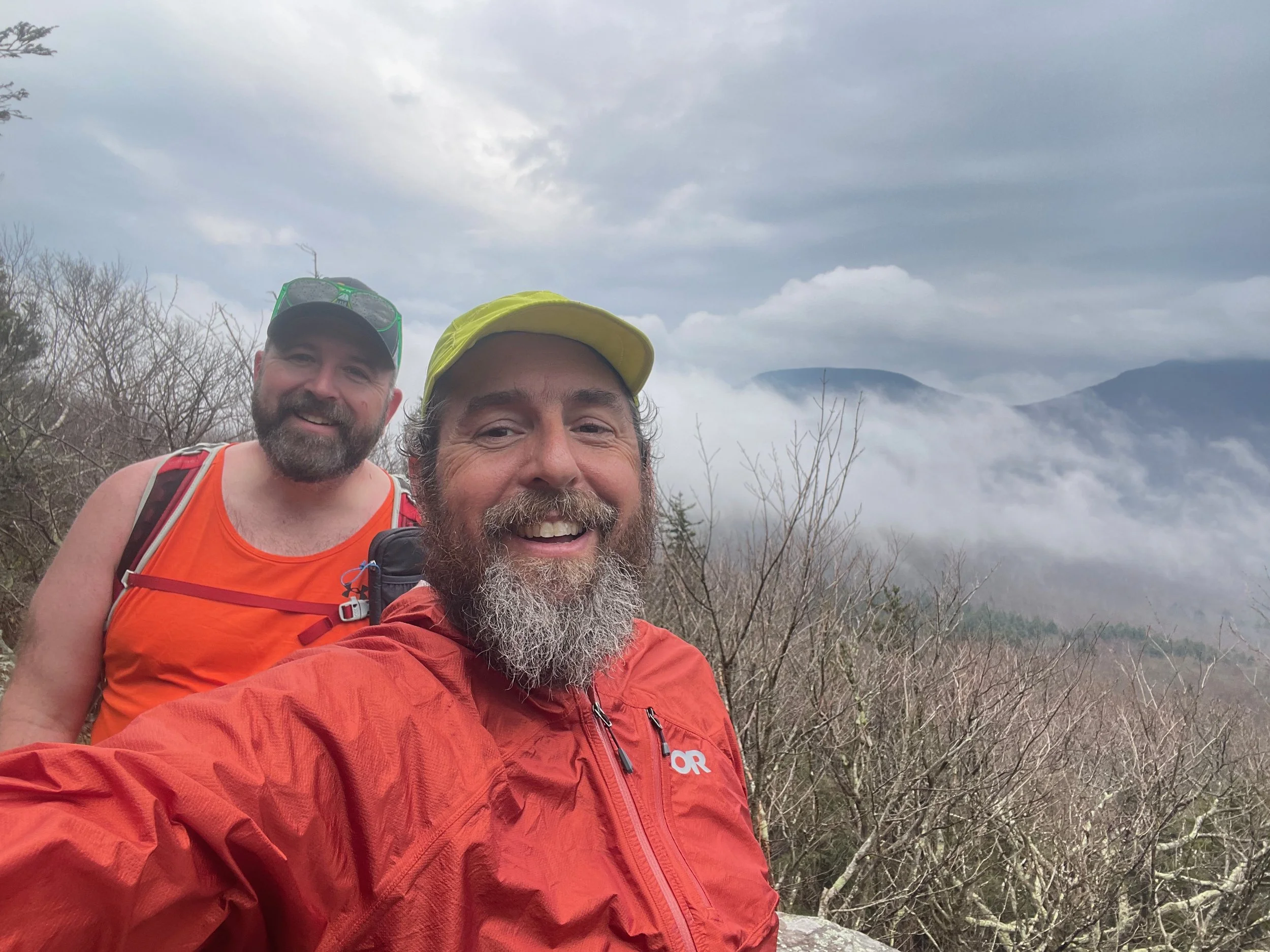
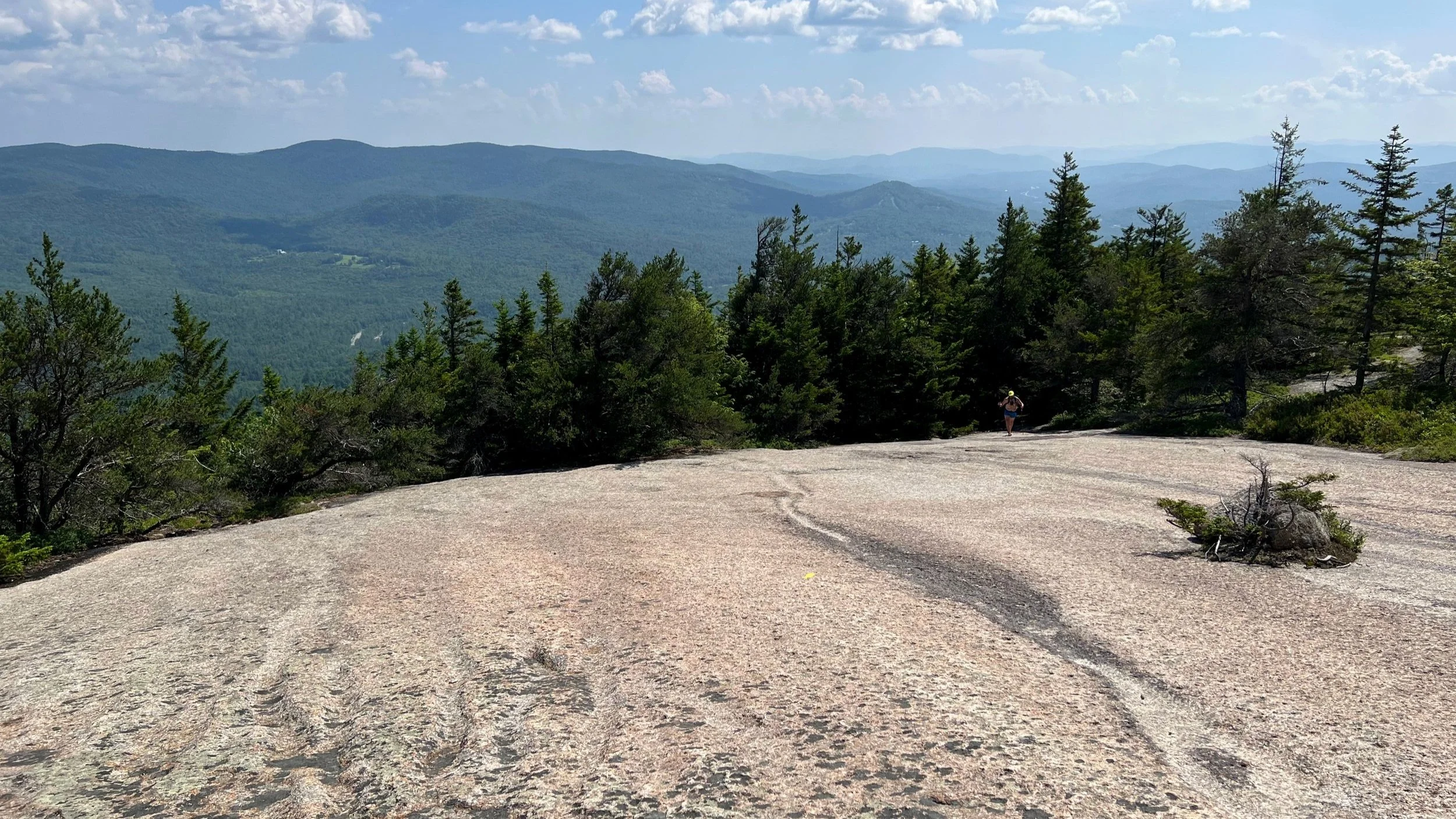
The climb is steep from here and there are a few places that folks with a fear of heights may be a bit uncomfortable. The footing is generally secure, but there are a few wet areas, along with some sections of gravelly and sandy trail that can be a bit slippery. At about 1.5 miles you’ll come to the top of Frankenstein Cliff, which offers an amazing view looking south down Crawford Notch towards Bartlett and the surrounding mountains.
From here you’ll climb up and down gently until you reach the trail junction with the Arethusa-Ripley Falls Trail. Stay on the Frankenstein Cliff Trail by going straight and you’ll begin descending down to the intersection with the Arethusa Falls Trail. At that trail junction, the Arethusa Falls Trail descends to the base of the waterfall in 0.2 miles, offering an amazing view of this stunning waterfall. Return back to the trail junction and then begin descending the Arethusa Falls Trail to the small trailhead parking at the end of Arethusa Falls Road, and then continue back down the trail, past that trailhead, to the unmarked trail junction you first came to. Take a right at that trail junction and you’ll return to the map and kiosk at the trailhead parking area where you started.
This is a moderate hike (challenging if you don’t like heights in the beginning) of 5.1 miles. The total elevation gain is 1600 feet and is all more or less gained in the first 1.5 miles of the hike.
Arethusa Falls & Frankenstein Cliff Hike Details:
Trailhead: Arethusa Falls Trailhead (Arethusa Falls Rd, Hart's Location, NH 03812)
Distance: 5.1 miles
Elevation Gain: 1,600 feet
Route: Loop via Frankenstein Cliff Trail, Arethusa Falls Trail, and connecting paths
Difficulty: Moderate (especially for those wary of heights)
Highlights: Frankenstein Cliff views, Arethusa Falls, railroad trestle, Crawford Notch vistas
For More Information About Arethusa Falls & Frankenstein Cliff Hike
You can find this hike:
Hike On Guides: Need help on a hike like this? Moe is a NYS licensed hiking and backpacking guide. You can hire him for Hiking, Backpacking and Camping Guide Services at Hike On Guides for hikes in New York, New Hampshire, Vermont, and Massachusetts.
More Hikes Near Arethusa Falls and Frankenstein Cliff
Our Hiking Advice and Hiking Gear Recommendations
Gear we used on this hike:
Some product links are affiliate links and we earn from qualifying purchases. Others are links through the Amazon Influencer program and as an Amazon Influencer, we earn from qualifying purchases. Still others, we just want you to know about some good gear we enjoy!
Important Hiking Considerations:
Weather: Check the weather forecast before your hike and be prepared for changes in conditions.
Safety: Some sections of the trail can be steep and rocky, so use caution and watch your footing.
Leave No Trace: As with any outdoor activity, remember to follow the principles of Leave No Trace. Pack out any trash, stay on the trail, and be respectful of the natural environment.