Hiking Ashokan High Point in the Catskills
Ashokan High Point is a great hike in New York’s Catskill Mountains. Rising to an elevation of 3,061 feet, this scenic peak is located near the Ashokan Reservoir within the Catskill Park and offers a perfect blend of moderate hiking and climbing with some great summit views. Although Ashokan High Point is not one of the Catskills High Peaks (those peaks above 3500 feet), it's still a favorite thanks to those views.
Hiking Ashokan High Point typically involves either an in and out hike of about 7 miles, or in the case of our hike, a lollipop loop hike of 9 miles. The trailhead is located on County Route 42 (Peekamoose Road), a few miles up from CR 42's intersection with Route 28A. There’s generally plenty of parking available at this trailhead on all but the very busiest weekends.
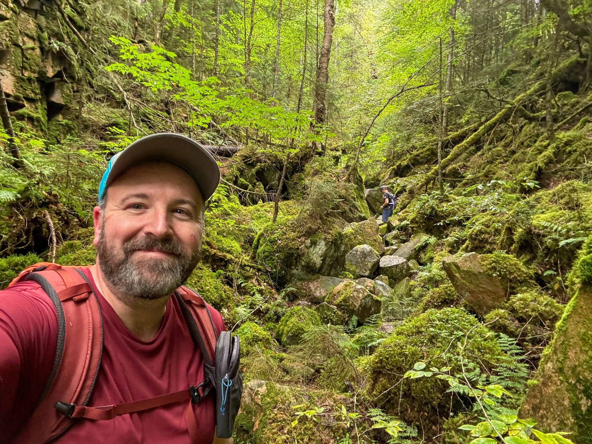
From the trailhead, the first three miles of the Ashokan High Point Trail takes you along a gently climbing old road generally besides Kanape Brook. Along the way you’ll pass remnants of the old farming community that existed in the valley and see the work of the current residents - a bunch of busy beavers that at times flood the trail, or at least make it muddy in places.
At the height of land between Ashokan High Point and Mombaccus Mountain, the trail takes a hard left, leaving the old road and quickly reaches the unmarked intersection where the lollipop loop part of the hike starts. From here most people go straight (counterclockwise on the loop) the 1.1 miles to the summit and the first view. Based on trail conditions, that is the most popular in and out hike. This is also the route that we took.
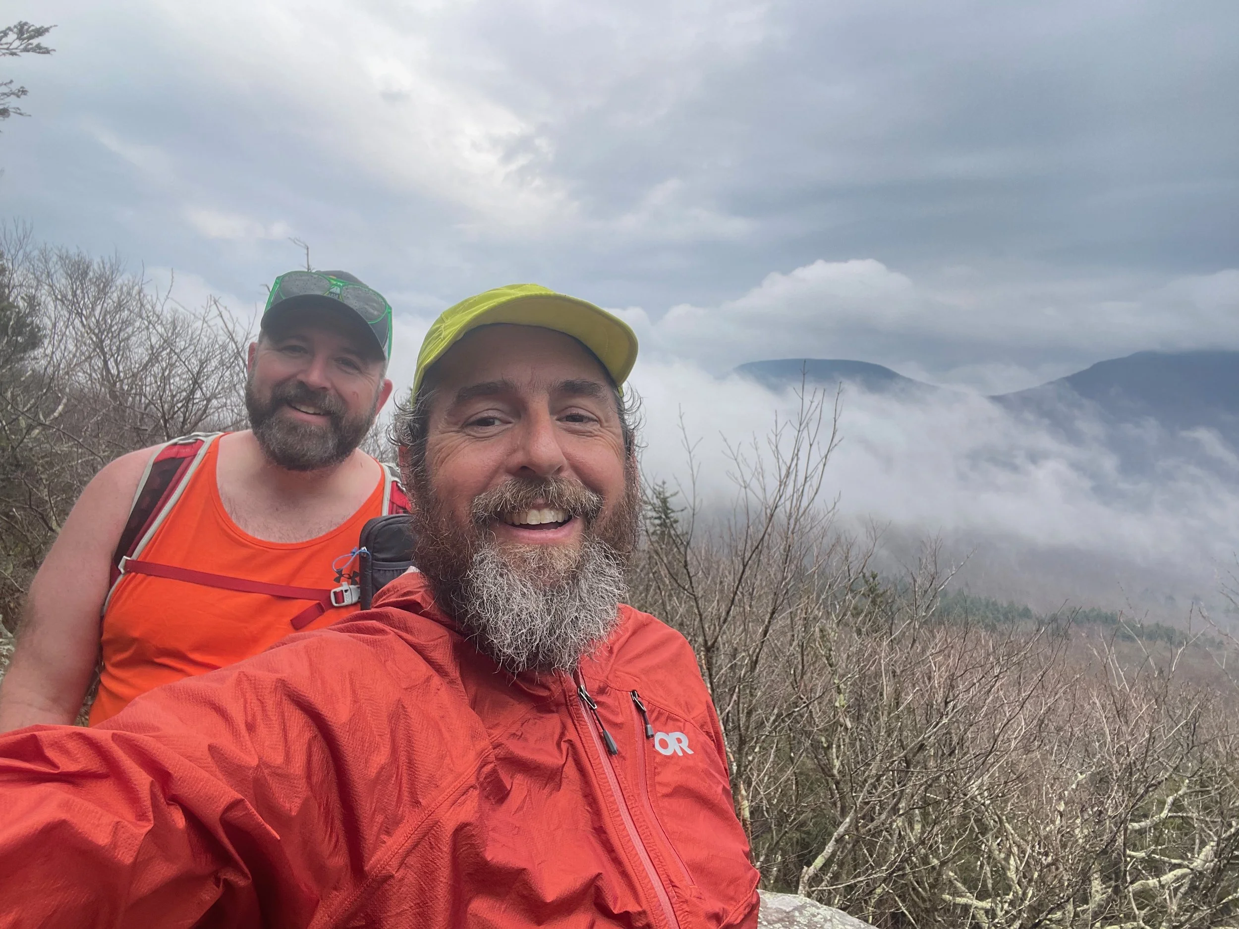
The trail begins to quickly climb through an open oak forest with some dense mountain laurel along the way. The trail is easy to follow and is generally well maintained. There are a few short steeper climbs, but nothing too difficult or challenging. The trail begins to level ff and you’ll come to the open rock ledges of the summit, which offer a view south in to the Hudson Valley.
From here, the rest of the loop beyond the summit of Ashokan High Point isn't difficult to follow, but it is lightly used and not very well maintained, so you’ll do best by keeping an eye open for the trail markers. The trail traverses the summit and comes out into several open fields before beginning to descend over a series of smaller bumps until the trail begins descending steeply on an old road to the headwaters of Kanape Brook. The old road and the trail take a hard left and then follow the contour back to the intersection at the start of the lollipop loop. The lollipop loop is 3.6 miles in total length. Once you’re back to the start of the loop, you'll have the additional 3 miles back out along Kanape Brook to the trailhead on Peekamoose Road.
The total hike is 9 miles with about 2,100 feet of elevation gain along the way. This is a moderately difficult hike with a few steep climbs, but overall nothing really difficult in terms of climbing, just a lot of miles and a lot of elevation gain and descent.
For More Information
You can find out more about this this hike here:
Additional Catskill Park information is available at the Catskills Visitor Center (5096 Route 28 in Mt. Tremper) on the Web, Facebook, Instagram, and in person.
Hike On Guides: Need help on a hike like this? Moe is a NYS licensed hiking and backpacking guide. You can hire him for Hiking, Backpacking and Camping Guide Services at Hike On Guides for hikes in New York, New Hampshire, Vermont, and Massachusetts.
Our Hiking Advice and Hiking Gear Recommendations
Gear we used on this hike:
Some product links are affiliate links and we earn from qualifying purchases. Others are links through the Amazon Influencer program and as an Amazon Influencer, we earn from qualifying purchases. Still others, we just want you to know about some good gear we enjoy!
Important Hiking Considerations:
Weather: Check the weather forecast before your hike and be prepared for changes in conditions.
Safety: Some sections of the trail can be steep and rocky, so use caution and watch your footing.
Leave No Trace: As with any outdoor activity, remember to follow the principles of Leave No Trace. Pack out any trash, stay on the trail, and be respectful of the natural environment.


