Hiking South and Middle Moat Mountains via Red Ridge Trail, the Best Ridge Hike Near North Conway, NH
Hiking South and Middle Moat Mountains via Red Ridge Trail — A White Mountains Ridge Walk to Remember
If you're looking for a hike in the White Mountains that delivers on views, drama, and variety, the hike over South and Middle Moat Mountains is the one for you.
Near North Conway, New Hampshire, we tackled what has now become one of our new favorite point-to-point hikes: South and Middle Moat Mountains via the Moat Mountain Trail, finishing with a scenic descent down the Red Ridge Trail to Diana’s Baths. This 9+ mile adventure offers a little bit of everything—summit views, sweeping granite ridgelines, and a waterfall finish to cool off at the end. It’s a stunner from start to finish.
Moat Mountain Trail from Passaconaway Road to West Side Road - Hike Description
We began our day at the Moat Mountain Trail trailhead on Passaconaway Road, easing into the hike with a gentle grade through a dense, shaded hardwood forest. The trail winds quietly through tall trees and mossy boulders, the air cool and still in the early morning. As we gained elevation, the forest began to thin and the trail steepened, with stretches of exposed roots and granite ledges hinting at the views to come.
After about 2.6 miles of steady climbing, the trail bursts into the open. We stepped out onto wide granite slabs and were immediately greeted with sweeping views across the Mount Washington Valley. To the north, the dramatic Presidential Range rose into the clouds, while to the south and west, wave after wave of forested peaks stretched toward the horizon. South Moat’s summit may not be the tallest in the Whites, but its panoramic vantage point is unforgettable.
From the summit of South Moat Mountain, we followed the ridgeline north toward Middle Moat Mountain, a stunning stretch of trail that turned out to be the highlight of our day. The path dances across exposed granite, dipping in and out of stunted evergreens, with near-continuous views in every direction. It’s the kind of terrain that makes you feel like you’re walking along the spine of New Hampshire, suspended between earth and sky.
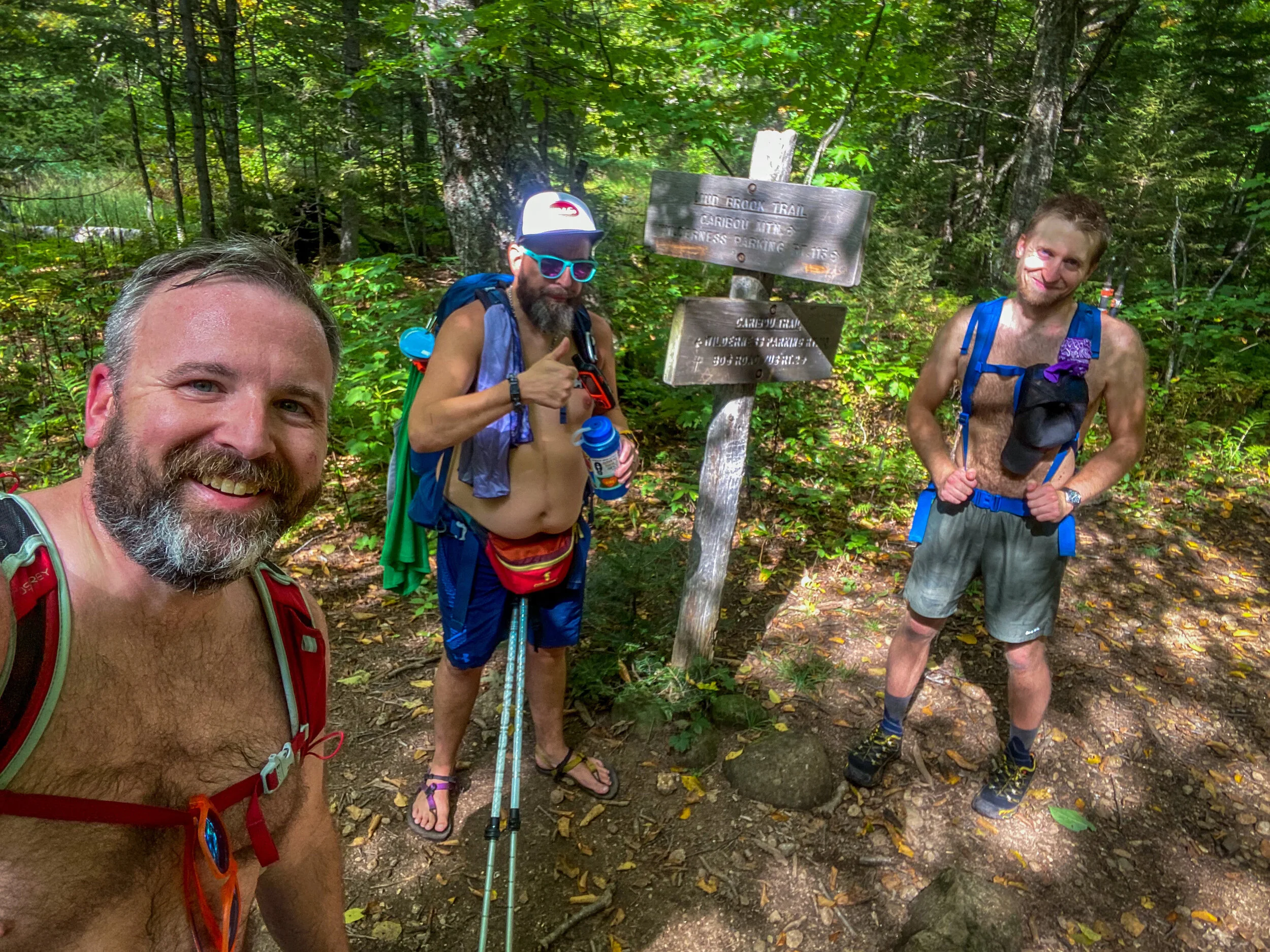
After summiting Middle Moat, we veered right onto the Red Ridge Trail, a lesser-traveled and visually striking alternative to the main descent. The trail immediately drops down a series of granite ledges, weaving its way across the ridge. Sun-baked stone, scrubby pitch pines, and wide-open views give this section an alpine feel—rare for this elevation in the White Mountains. As we descended, the trail reentered the forest, transitioning into softer footing and shaded corridors of hemlock and pine.
Soon, the distant roar of water signaled our approach to Diana’s Baths, a popular and picturesque collection of waterfalls, cascades, and pools carved into the granite. Even if it’s crowded (and in swimming season, it definitely will be), it’s still a refreshing and beautiful place to cool off after a long hike. We lingered just long enough to soak our feet and snap a few photos before heading to the West Side Road trailhead, completing our 9-mile traverse with over 2,800 feet of elevation gain behind us.
Moat Mountain Trail from Passaconaway Road to West Side Road Details
🧭 Trailhead: Moat Mountain Trail on Passaconaway Road (Google Maps), ending at West Side Road (Google Maps)
🥾 Distance: ~9 miles
📈 Elevation Gain: ~2,800 feet
⚠️ Difficulty: Moderate to strenuous
📸 Highlights: Sweeping summit views, granite ridge walk, waterfall ending
🗺️ GPS Information: Trail Route in GPX Format
Trail Notes
Logistics: This is a point-to-point hike, so you’ll need to shuttle a car. Parking is available at both trailheads.
Sun & Exposure: Much of the ridge is exposed—bring sunscreen, and try to start early if hiking on a hot day.
Diana’s Baths: It can get very busy in the warmer months, so plan accordingly. We recommend going midweek or earlier in the day to avoid the crowds. We dropped a car off at that trailhead at 8am and the parking lot was already more or less full.
Best Time to Hike: Late spring through fall, when the ledges are dry and the ridge views are clear.
For More Information About The Moat Mountains Traverse Hike
You can find this hike:
Hike On Guides: Need help on a hike like this? Moe is a NYS licensed hiking and backpacking guide. You can hire him for Hiking, Backpacking and Camping Guide Services at Hike On Guides for hikes in New York, New Hampshire, Vermont, and Massachusetts.
More Hikes near the Moat Mountains
Gear we used on the Moat Mountains hike:
Some product links are affiliate links and we earn from qualifying purchases. Others are links through the Amazon Influencer program and as an Amazon Influencer, we earn from qualifying purchases. Still others, we just want you to know about some good gear we enjoy!
Important Hiking Considerations:
Weather: Check the weather forecast before your hike and be prepared for changes in conditions.
Safety: Some sections of trail can be steep and rocky, others can be muddy, so use caution and always watch your footing.
Leave No Trace: As with any outdoor activity, remember to follow the principles of Leave No Trace. Pack out any trash, stay on the trail, and be respectful of the natural environment.


Hiking the White Mountains Playlist on YouTube
There are so many hikes and adventures in the White Mountains and you can begin to experience them all with our Hiking the White Mountains playlist on YouTube!